During the late-nineteenth and early-twentieth centuries, the United States and Canada expended significant effort enforcing their shared border. Both countries relied on a wide array of personnel including soldiers, police officers, and customs, immigration, and Indian agents. The result was a border that differed substantially by region and shifted over time. The Building Borders project aims to quantify patterns of federal control and visualize what the border looked like on a practical level.
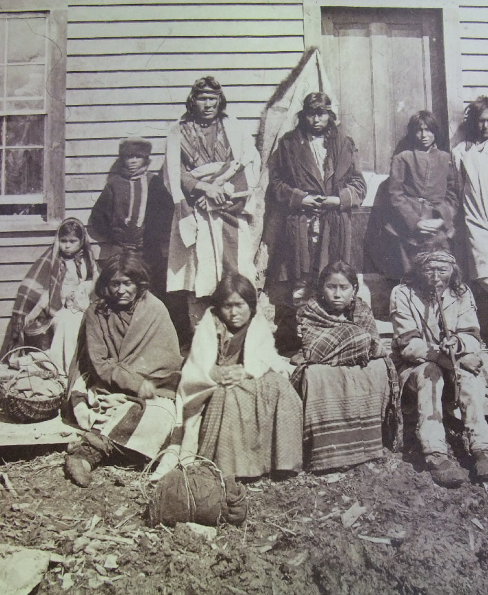
Indian Agents, Schools, Reserves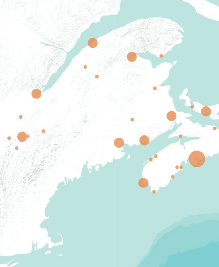
Consuls |
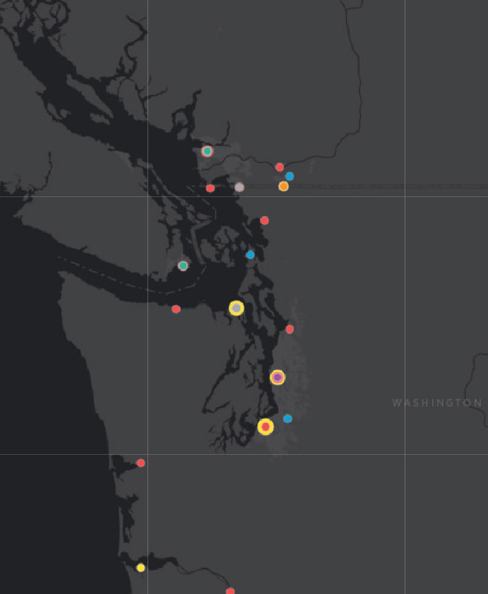
Immigration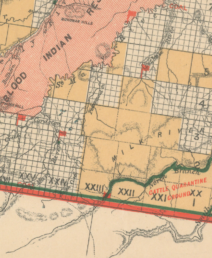
NWMP Police and US Soldiers |

Customs Service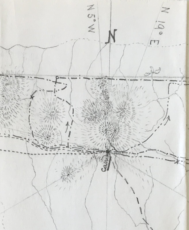
Trails and Place Names |

This work is licensed under a Creative Commons Attribution-NonCommercial-ShareAlike 4.0 International License.